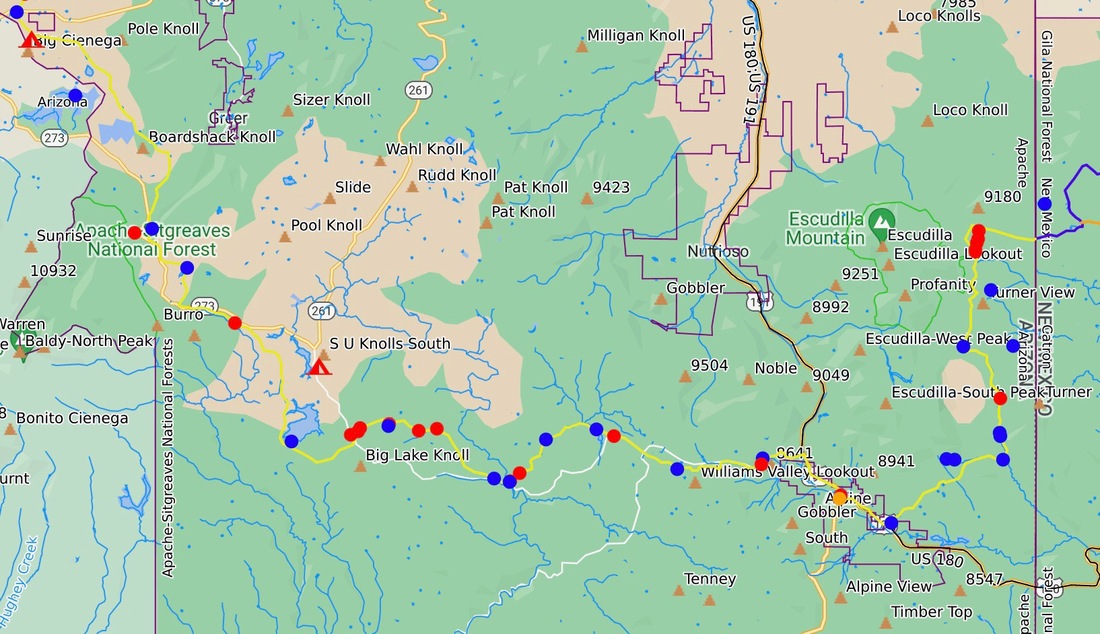
From the eastern Arizona border to Pine Top Arizona:
1) On the eastern side of the map north of Alpine, it would be awesome if the trail ran up and over Escudilla-West and South peaks. This would get it off some dirt road walking, put the trail through a fantastic aspen forest, and reach the top of a hill for good views. I was looking for a route up and over this hill to Alpine, Arizona, for the bushes were too thick, and a trail through here would be excellent.
2) The trail followed the Apache Railroad Trail and was excellent.
3) A better trail heading west out of Pine Top would be nice.
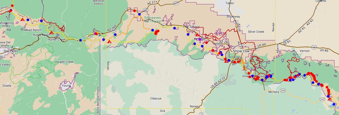
From Pine Top to the Arizona Trial south of Flagstaff:
1) There are water issues in this section. I had to head north to Pinedale and Clay Springs to find water.
2) The General Crook Trial was nice to follow and could use some brushing.
3) The UTV, side by side, are destroying the forest east of Forest Lakes, AZ.
4) The western portion of the High Line Trail is quite burnt and can use some trail tread improvements.
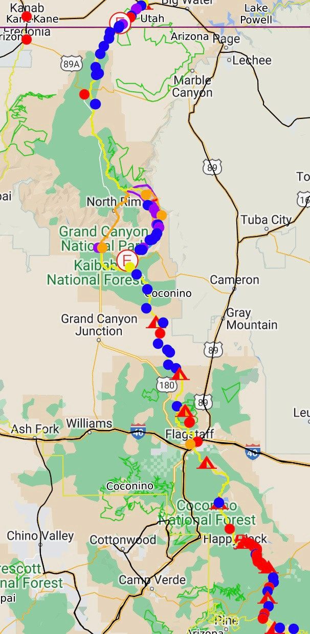
From Flagstaff to Utah:
1) In This section, you are on the Arizona Trail so that I will leave improvements in this section up to the AZT. I hiked up and over Humphries Peak, which was awesome.
2). You will notice that I was hitchhiking across the Colorado River via rafters at the bottom of the Grand Canyon. It was an exciting alternative to the AZT, and I was going to do this because I had already hiked the AZT route down to the bottom of the canyon. It turns out I did not use my permit to do this because my mom passed away in Colorado, and I reached the edge of the Grand Canyon and had to leave the trail for 13 days and spend time with my mother Margaret in Colorado as she passed. I am thankful for the time I had with her. So, I did not hike from the southern rim of the Grand Canyon to the northern Arizona border, but the trail is going nowhere, and I will hike this someday. It was my point to prove the trial; the AZT has been proven many times.


