From Utah's southern border to Capitol Reef National Park:
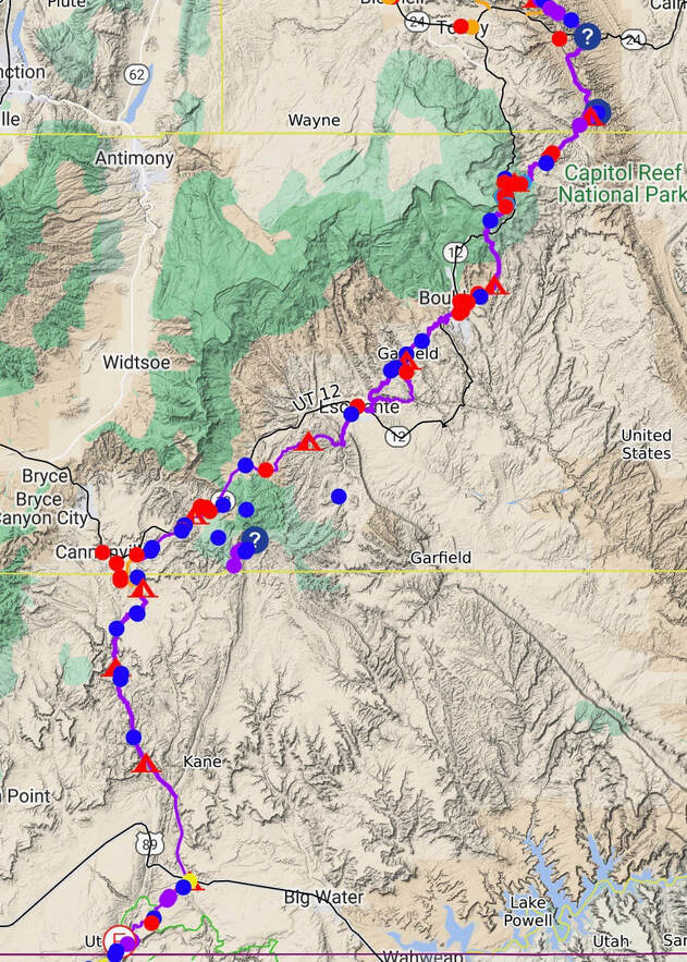
- A route must be built from the northern boundary of Kodachrome Basin State Park to Henrieville, Utah.
- The route I walked from Henrieville to Escalante was excellent and had plenty of water, but can this be moved south into the wilderness area south of Highway 12? I ended up near Highway 12 because I was concerned about water. I found tons of water along this route.
- A route needs to be built from the Boulder Mail Trail to the town of Boulder.
- A route from Boulder, UT, to Long Neck northwest of town should be marked. This was an excellent way to go. The path should skirt the private land surrounding Boulder.
- The Great Western Trail up on Boulder Mountain can use a logout and some brushing in areas.
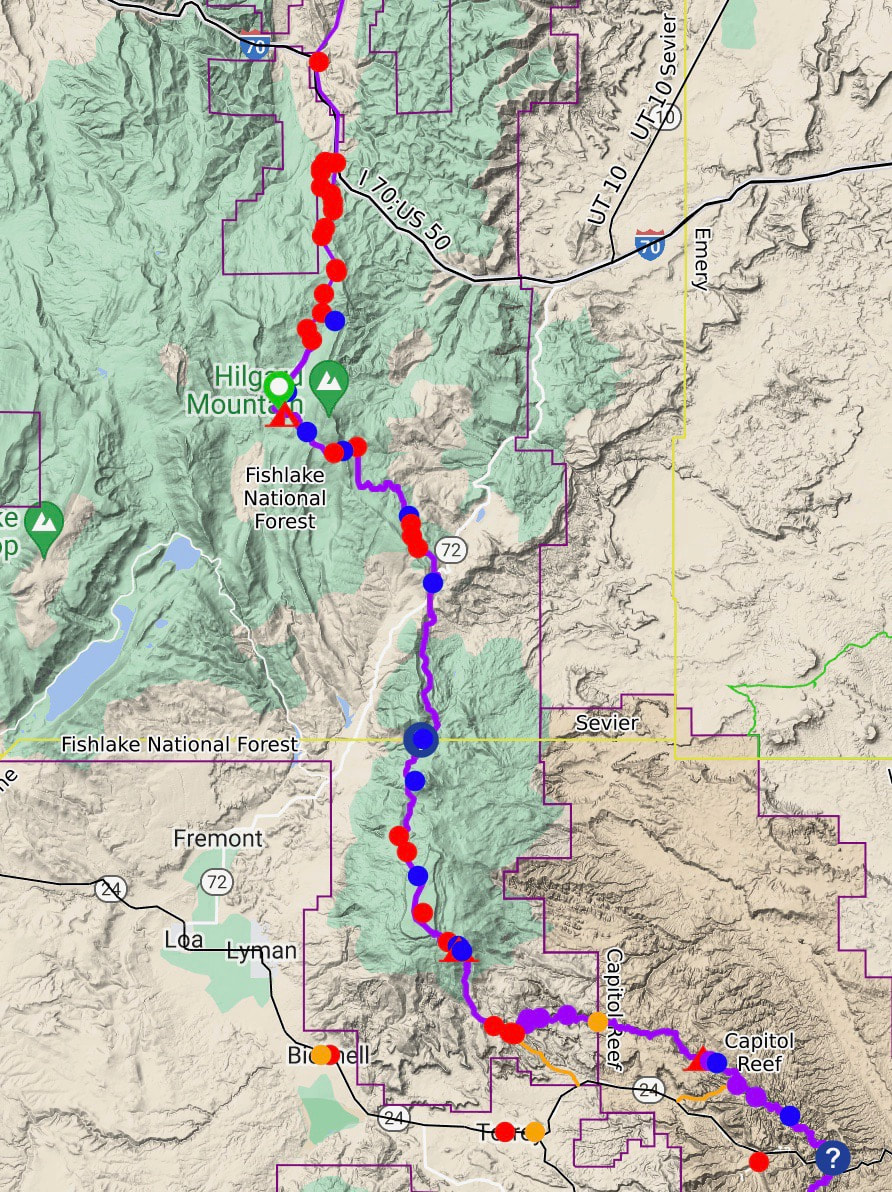
Capitol Reef National Park to I-40:
- This section was excellent! Just some trail clearing is needed.
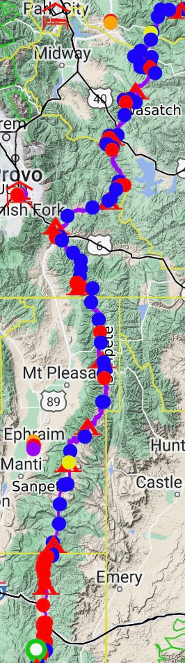
From I-70 to Kamas, Utah:
- Crawling through the scrub oak is brush hell as I reached the Skyline Drive. There was a trail on the map in the area, but it took a lot of work to follow. Rebuilding the trail as one climbs from I-70 to Skyline Drive would be awesome.
- The Skyline Drive was fantastic to walk; it is a major dirt road but enjoyable. It would be cool if there were places to route a trail off the road.
- On the north side of the Skyline, where I descended to Spanish Fork, I had a brush crash, and the Utah State Patrol firing range I ran into by Thistle UT was interesting. There are a lot of opportunities here to reroute the trail. I was working towards Fifth Creek Hot Springs.
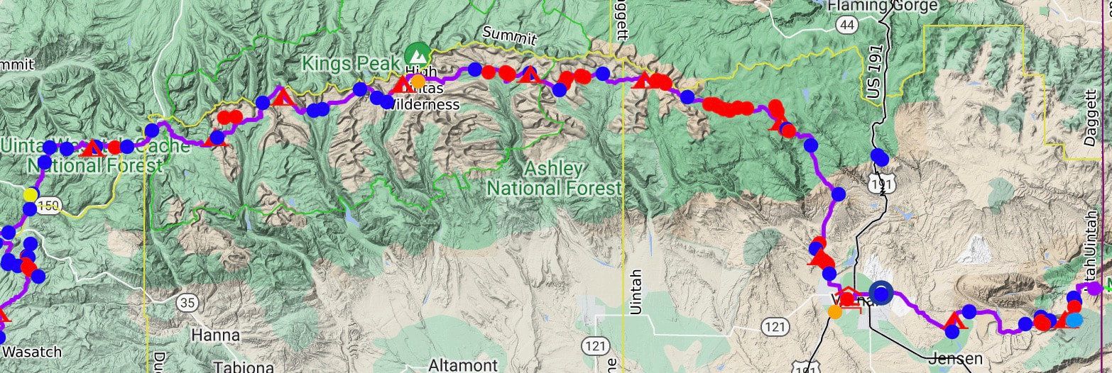
From Kamas Utah to Colorado:
- The route from Kamas to Vernal, Utah, over the Highline trail was beautiful. There is only a little improvement needed other than typical existing trail maintenance. There is some dirt road walking heading into Vernal. Changes here to relocate the trail off the dirt road would be nice.